An exterior farmhouse layout map is a visual representation that depicts the arrangement and design of the various structures and features surrounding a farmhouse.
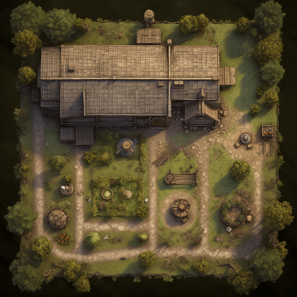
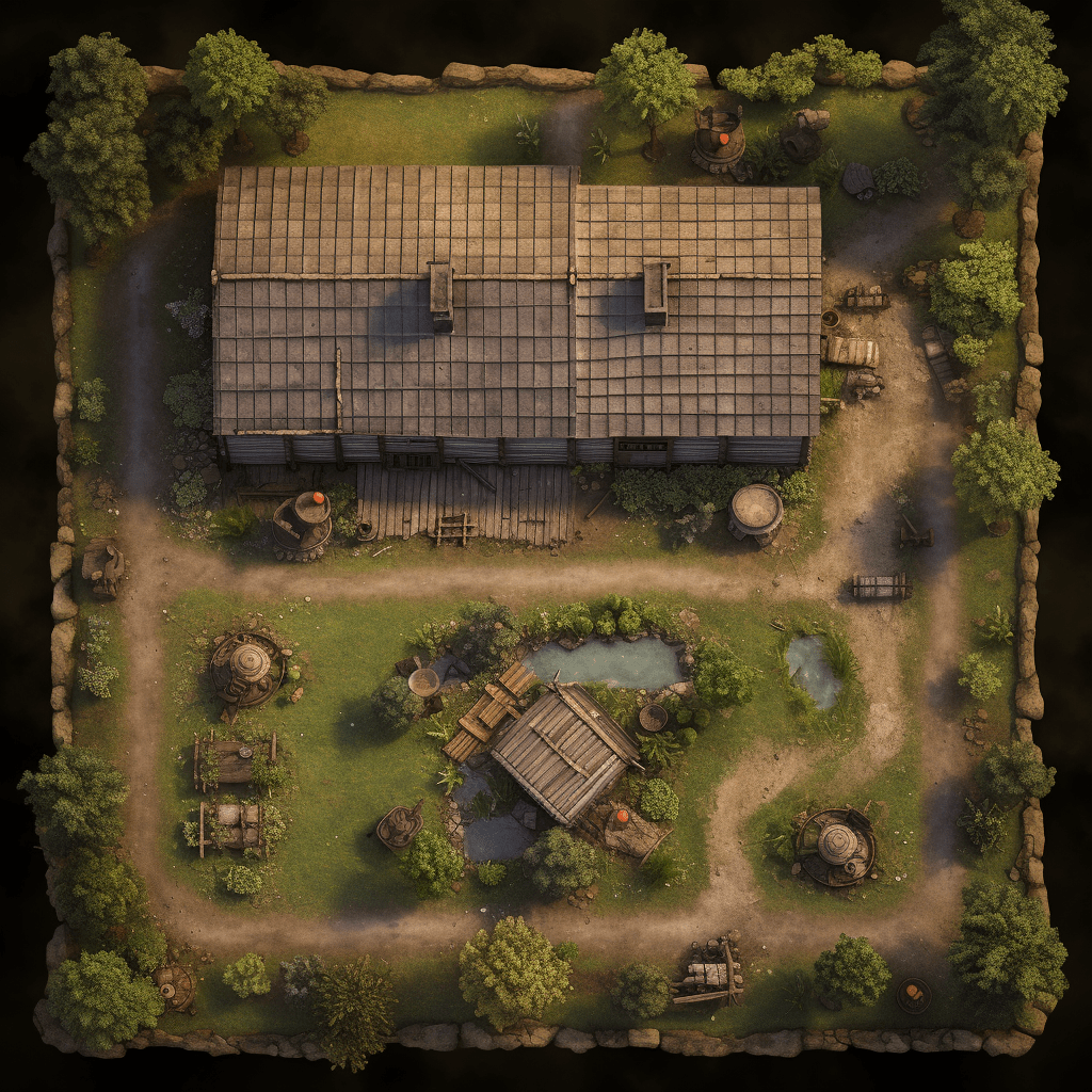
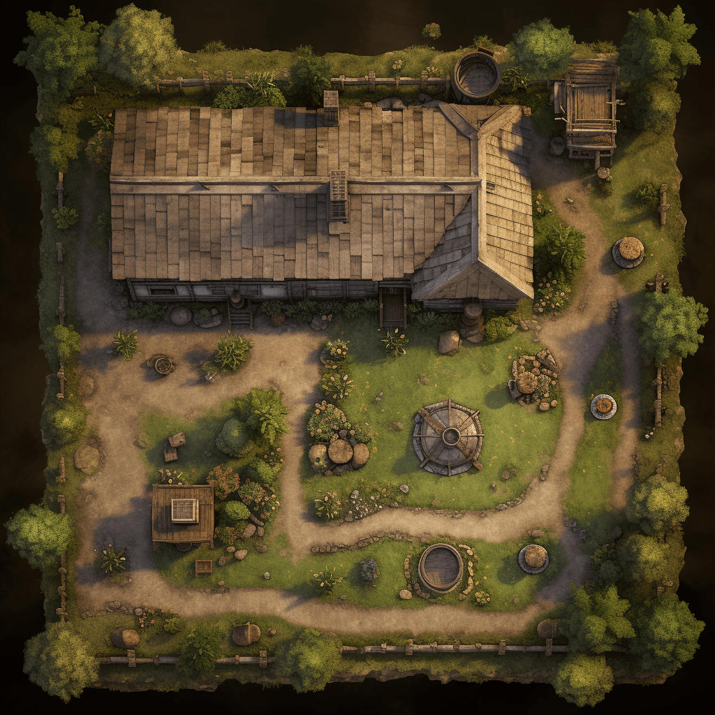
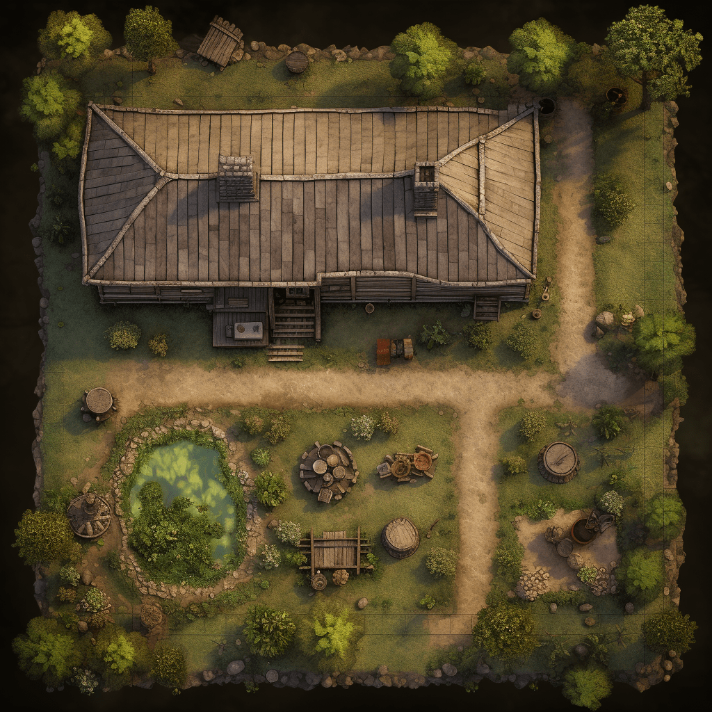
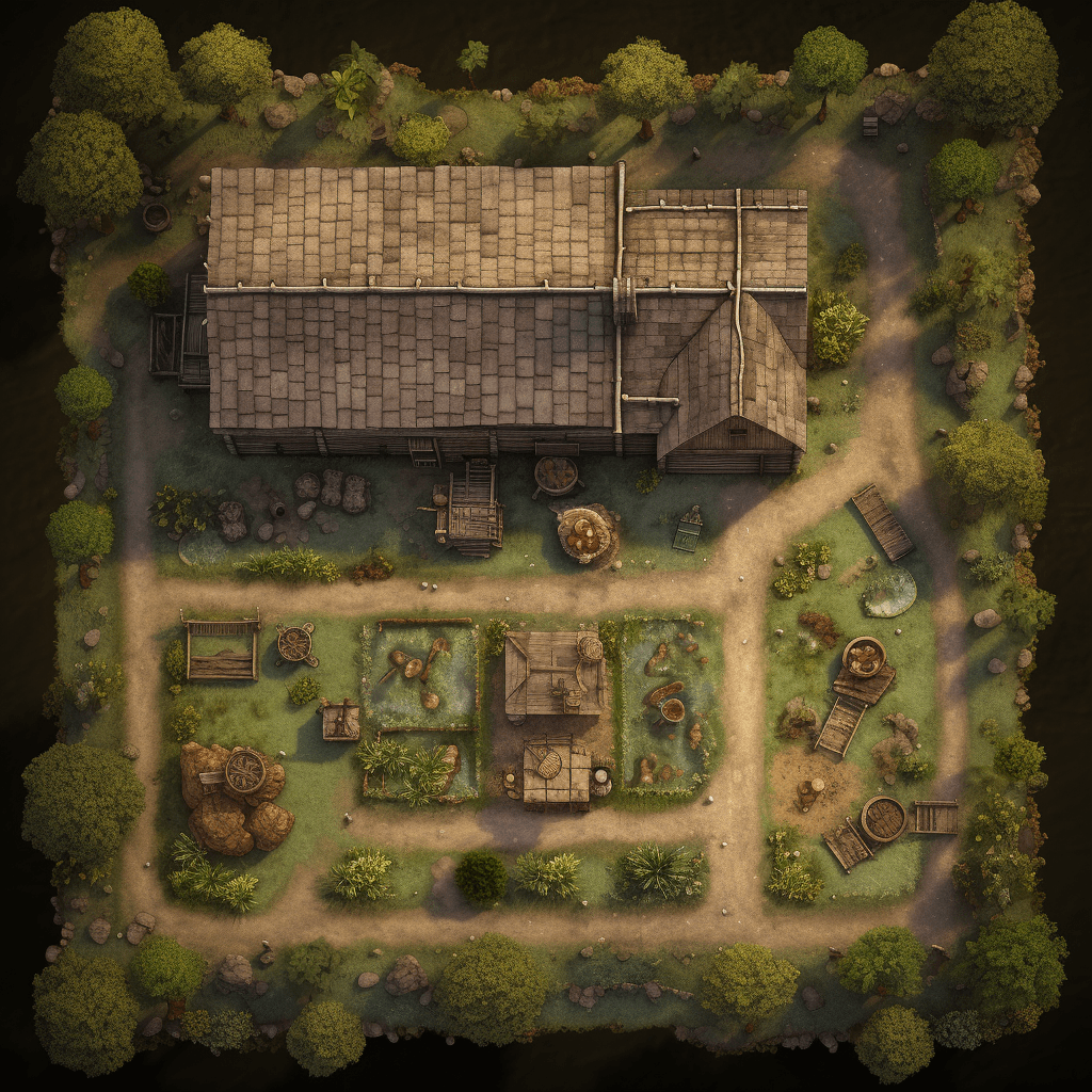
This map provides an overview of the outdoor areas, including the farmhouse itself, barns, animal pens, fields, gardens, and other elements that contribute to the functioning of the farm. It showcases the organization and placement of these structures, indicating pathways, fences, and gates that connect them. The map may also highlight specific areas, such as a vegetable garden, an orchard, a well, or a farm pond. It can include notations or symbols to represent the different types of livestock kept on the farm, such as cows, pigs, or chickens, as well as any machinery or tools stored in designated areas. An exterior farmhouse layout map helps farmers and farmhands navigate the property efficiently, ensuring smooth operations and providing a clear understanding of the overall layout and functionality of the farm.